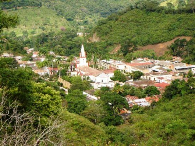
Durania, Norte de Santander, Colombia
Suggest Place to Visit
1151
Track to location with GPS |
 |
The region that today corresponds to Durania was occupied in colonial times by the Oporoma tribe, which apparently was the product of a miscegenation between the Kaib - Cibca cultures.
The historian engineer Fernando Valencia Caicedo, considered one of the greatest scholars of the municipality and from whom we receive permanent advice in this monographic study, quotes in one of his texts: ´´ The Bishop of Santa Marta, Lucas Fernández de Piedrahita, referring to The explorations of the municipal land carried out by the founders of Pamplona, say at this time the noisy news of ´´ La Casa del Sol´´ had revived in the new kingdom, which at the beginning of the conquest had dragged the ambitious spirit of the conquerors´´.
According to the historian Miguel Durán Durán, the Oporomas Indians had as their place of worship the hill ´´ El Sol´´, a name that has been maintained over time and that corresponds to a site located in front of the municipal seat.
At the end of the 16th century, most of the northern territory of Santander had been populated in its main natural axes. The way to penetrate the indigenous regions were the encomienda and the convent. The historian Miguel Marciales determined the convents that had religious missions in the municipal territory: ´´The current region Bochalema - Durania Chinácota, for example, was secured through the foundation of Dominican and Augustinian agreements in the last quarter of the 16th century´´.
Regarding the encomienda, the historian Miguel Durán says: ´´ The encomienda of Ocarema, Zulia and La Berigua ensured the largest portion of the Durania territory, which was given since 1551 by the founders of Pamplona to the Spanish Juan Sánchez Caballero with the Indians who I understood this territory. '
Full Name: Durania
Foundation: 1911.
Founder: Justo Durán and Rafael Leal.
Population: DANE 2005 Census: 4,289 inhabitants.
Altitude: 950 meters above sea level.
Extension: 173 Km2
Climate: 23 degrees C.
Distance to Cúcuta: 47 Km
Geographic coordinates: Longitude west of Greenwich 72º 40´, North latitude 7º 43´
Limits: North: Santiago and San Cayetano,
South: Arboledas and Bochalema,
East: Bochalema,
West: Arboledas and Salazar.
Administrative divition:
Rivers: Zulia and the streams La Lejía, La Ocarena, Coladera, Botanera, Agua Blanca, Negra.
Region: South East
Economy:
Agriculture: coffee, citrus, sugar cane, banana, yucca.
Agriculture: Cattle and poultry.
Mining: coal, limestone and clays.
Holidays:
January 1, Santo Niño de la Troja
Lord of Agony, patron.
Immaculate Conception
Tourist sites:
Laguna de la Barca
Cave the Indian
El Saladito Waterfall
Olympic pool
The Stairs
Comments
We don´t have yet any comments about:
Durania
Durania
Be the first to leave a comment as it is very important to inform other people
Outros locais a visitar
Within a radius of 20 km from:Durania
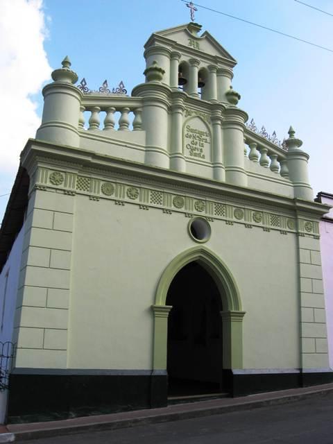
Bochalema |
| 11,7 Km |
 |
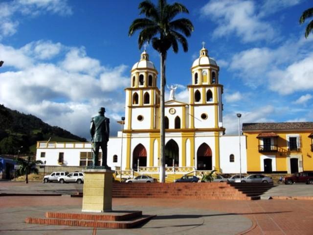
Saint John the Baptist of Chinacota |
| 12,8 Km |
 |
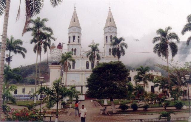
Groves |
| 17,6 Km |
 |
Santiago de Cali |
| 18,0 Km |
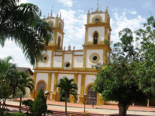 |
Salazar de las Palmas |
| 18,4 Km |
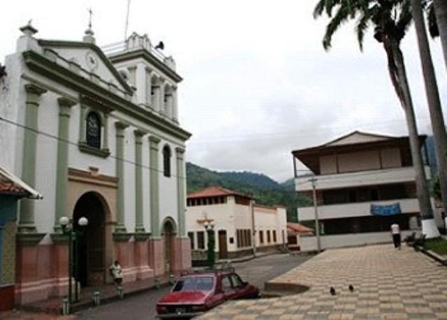 |
San Cayetano |
| 18,6 Km |
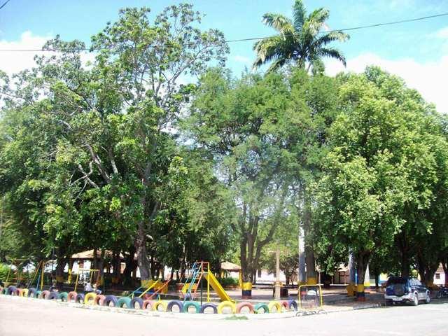 |
Hotel reservation near Durania within a radius of 20 km
No results
Why to book with ROTAS TURISTICAS
The best prices
Our partnerships with the world´s largest operators offer research on the best market prices.
More options
At Rotas Turisticos you can book the hotel, buy the air ticket, book the transfer from the airport to the hotel and vice versa, book the local excursions, rent the car, take travel insurance and consult the places to visit and where to go.
Holiday Tips & Destinations
Hundreds of holiday destinations with all the options that allow you to easily choose the destination that best suits your dream vacation.
ROTAS TURISTICAS
Links


